|
|
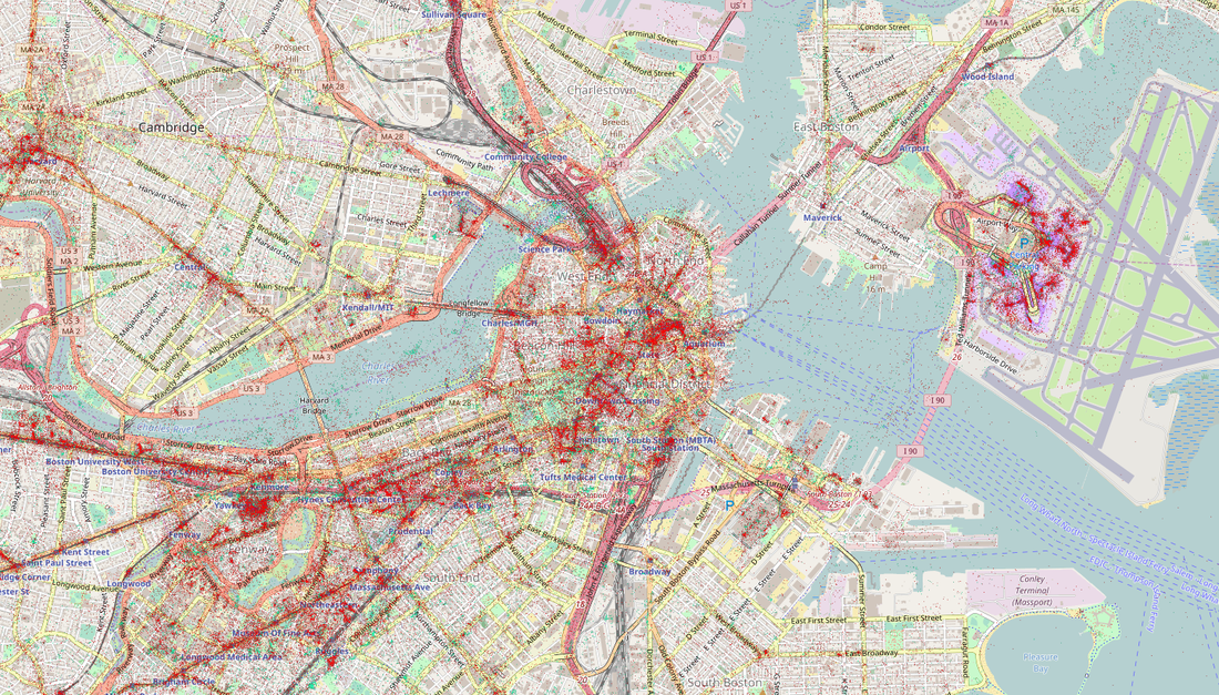
Mobile use with other dataSometimes it is beneficial to view the mobile use data in conjunction with other information. This map example shows shopping malls as they relate to the social media traffic in the Downtown Boston area.
|
|
|
|
|
|
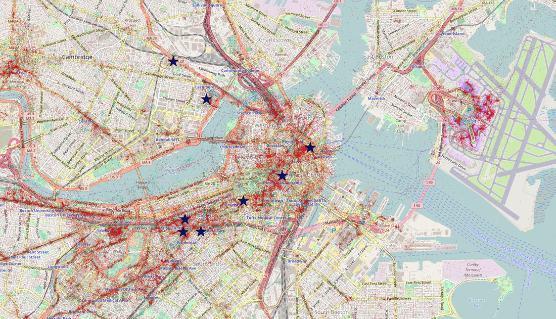
Mobile use with other dataSometimes it is beneficial to view the mobile use data in conjunction with other information. This map example shows shopping malls as they relate to the social media traffic in the Downtown Boston area.
|
|
|